Nature— all
Tohoku's Volcanic Landscape: A Guide to Mt. Zao, Mt. Bandai, and Japan's Active Peaks
May 22, 2026
Tohoku sits on some of Japan's most active geology. Here's how to explore its volcanic landscapes safely and dramatically.
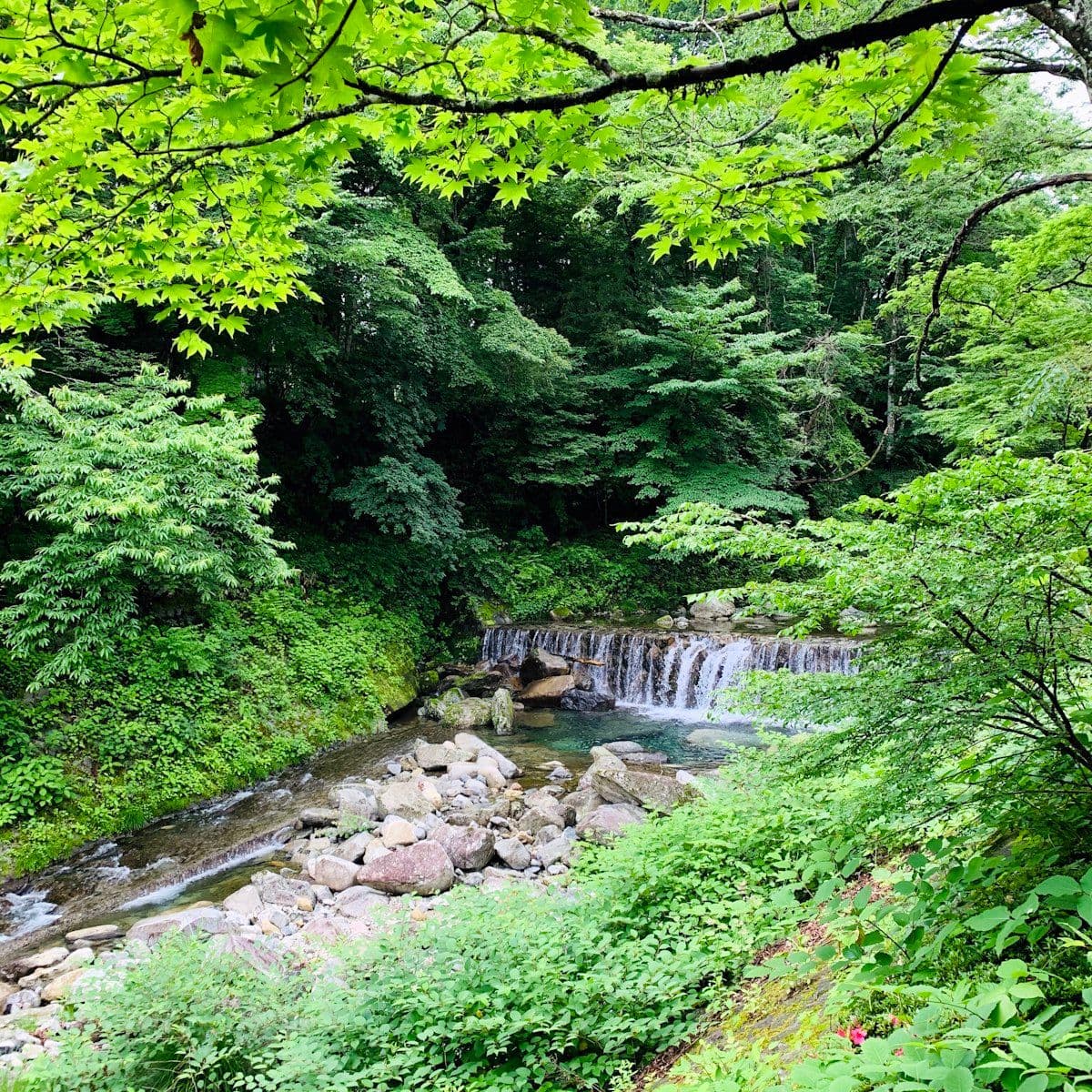
Tohoku's geology is violent. The region sits on the subduction zone where the Pacific Plate dives under the Eurasian Plate — the same collision that produces Japan's earthquakes, its hot springs, and its volcanic mountains. Forty-six of Japan's 111 active volcanoes are in Tohoku or closely associated with its geology. The landscape this creates — crater lakes, lava plateaus, sulphur vents, thermal valleys — is one of the most dramatic natural environments in the country.
Mt. Zao (蔵王山) — Yamagata/Miyagi Border
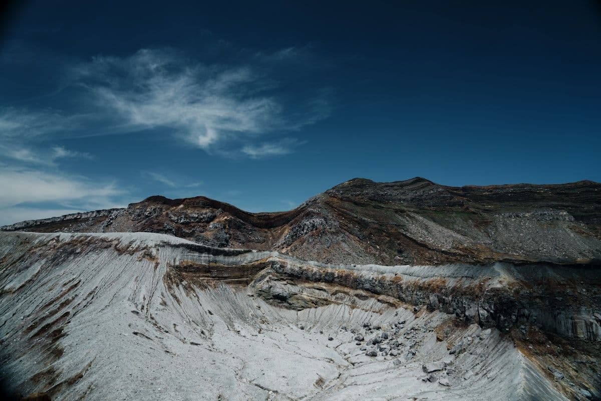
The Zao volcanic massif straddles Yamagata and Miyagi prefectures. Its highest point is Kumano-dake (1,841 metres). The summit area contains the Okama crater lake — a circular lake of vivid green-blue water at 1,460 metres, surrounded by volcanic rock. The lake's colour comes from dissolved sulphur and other volcanic minerals and changes with cloud conditions and seasons.
The Zao Echo Line toll road (open late April through November) crosses the volcanic shoulder at 1,400 metres, passing within 20 minutes of the Okama viewpoint. In summer, hiking trails connect the ropeway summit (accessible year-round) to the crater area. In winter, the ski area operates across the lower slopes, and the juhyo ice-monster phenomenon forms on the fir trees at 1,200–1,500 metres from January to March.
Current volcanic status: Zao has been elevated to level 2 (limited access) during periods of increased activity. Check the Japan Meteorological Agency (JMA) volcanic activity map before visiting the summit area.

Nature
Dewa Sanzan: How to Walk Japan's Most Sacred Pilgrimage Route
Three sacred mountains. 1,400 years of pilgrimage. The Dewa Sanzan circuit in Yamagata is Japan's most spiritually charged walking route — and one of its least internationally known.
Mt. Bandai (磐梯山) and Urabandai — Fukushima
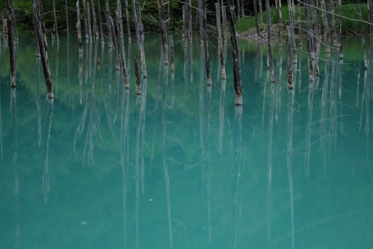
Bandai-san (1,816 metres) erupted catastrophically in 1888, collapsing its north face and creating the Urabandai plateau — a 30-square-kilometre area of scattered lakes, wetlands, and lava formations. The Goshikinuma (Five Colour Lakes) are the most visited result: five lakes, each a different colour due to varying mineral composition, surrounded by beech forest.
Hiking Bandai-san: the standard route ascends from Bandai Kogen (the plateau bus terminal) to the summit in approximately 3 hours. The ascent is through mixed forest to the volcanic cone, with views over the destroyed north face and the plateau lakes below. The trail is clear and well-maintained. Trekking poles are useful on the upper section.
The Goshikinuma walk: a 3.6-kilometre trail connects the five lakes, with well-maintained boardwalks through wetland sections. The most-photographed lake is Bishamon-numa (blue-green). Milky Pond (Nyudo-numa) and Aka-numa (red-tinged) are further along and significantly less visited. The full walk takes 90 minutes.
Hakkoda Mountains — Aomori
The Hakkoda range northwest of Aomori city includes Towada-Hakkoda National Park and several volcanic peaks accessible by ropeway (Hakkoda Ropeway from the Sukayu Onsen area). The summit plateau at 1,300 metres has the wetlands and alpine scenery of a highland plateau, accessible in summer and early autumn.
Sukayu Onsen at the base of Hakkoda is one of the most characterful onsen in Japan — the thousand-person communal bath has been in use since 1684 and draws water directly from the Hakkoda volcanic spring. Visiting Sukayu and taking the ropeway to the Hakkoda plateau in a single day covers the geological and cultural dimensions of the area simultaneously.
Practical Safety Notes
Volcanic activity in Tohoku is monitored by the Japan Meteorological Agency (JMA). Check the volcanic activity level of any mountain before visiting the summit area. Level 1 is normal; Level 2 means limited access to specific areas; Level 3 means access restrictions in force.
Sulphur vents: at several Tohoku volcanic sites (particularly around Zao and Osorezan in Aomori), sulphur concentrations at ground level can be dangerous to people with respiratory conditions. Avoid lingering in low-lying vent areas. Follow posted safety guidance.